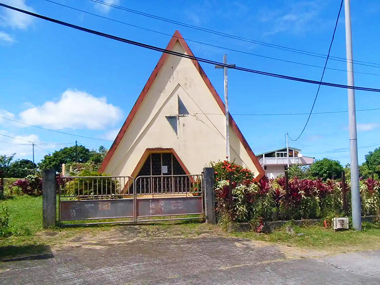
La boucle de la Chapelle
Walks and hikes
in Le Morne-Vert
3.2
km
Loop
Walks and hikes
2h 30min
Medium
-
Starting point: Chapel of Montjoly
Access: N1, then D19 or D20 -
Itinerary: The route starts near the chapel and goes towards the Montjoly plateau. At the beginning of the ascent, turn right (1) just before a big mahogany and go on a small track that goes down into the valley and then up a small hill.
Turn left, continue downhill and cross the Tranchette river. The trail continues in a small clearing and climbs up to a concrete path. At this point, you are in the Swiss Canton district (2). Continue straight ahead until the next fork in the road and then...Itinerary: The route starts near the chapel and goes towards the Montjoly plateau. At the beginning of the ascent, turn right (1) just before a big mahogany and go on a small track that goes down into the valley and then up a small hill.
Turn left, continue downhill and cross the Tranchette river. The trail continues in a small clearing and climbs up to a concrete path. At this point, you are in the Swiss Canton district (2). Continue straight ahead until the next fork in the road and then turn left.
The path becomes steeper and steeper. A little further on, the concrete section comes to an end but the path continues. Once on the ridge you can admire the magnificent panoramic view of the coast and the surrounding massifs.
Continue straight ahead until you reach the foot of the morne Tranchette (3) then turn left and go down to the bottom of the valley. Cross the Tranchette river again and you will find yourself on the heights of the Montjoly district, in the middle of market gardens (4).
Turn left to get back to the plateau of Montjoly, continue your descent until you reach the chapel.
- See all reviews
- Points of interest
- 233 meters of difference in height
-
- Start altitude : 385 m
- End altitude : 385 m
- Maximum altitude : 577 m
- Minimum altitude : 379 m
- Total positive elevation : 233 m
- Total negative elevation : -233 m
- Max positive elevation : 166 m
- Min positive elevation : -140 m